


Evidence-Based Recovery
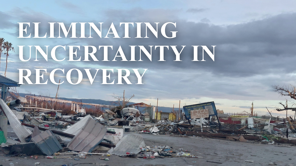
Following a disaster, a "Fog of War" often leads to high-stakes decisions being made on anecdotal or incomplete evidence. In Jamaica’s Big 5 parishes (including Manchester and St. Elizabeth), this lack of precision results in wasted aid, duplicated efforts, and deep rural communities being overlooked. Without georeferenced verification, donors face significant risks of resource leakage and the inability to satisfy rigorous international audit standards. These information gaps directly delay the recovery of critical infrastructure and vulnerable households. Frontier Projects replaces this uncertainty with independent, GIS-backed ground truth, ensuring every dollar is mapped to a verified point of need.

Led by Jason Edwards,
Founder & CEO
His leadership philosophy is grounded in calm decision-making, principled action, and the belief that trust is earned through consistency, presence, and integrity, especially under pressure.
Jason brings:
-
Over two decades of leadership in community service and ministry,
-
Formal training across counselling, education, the built environment, funeral services, project management, certification and experience in exhumation and mortuary operations, GIS and field-based technical assessment capability,
-
Proven track record of working with government agencies, legal teams, NGOs, and community stakeholders.
How Frontier Projects Supports Recovery
● Rapid mobilisation and community engagement
● Standardised field assessments using structured instruments
● Geo-referenced documentation and verification, including supplementary aerial visual verification
where appropriate
● Donor-ready reporting, datasets, and evidence packs



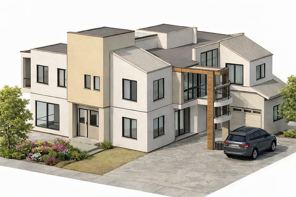
Architecture and Drafting Projects

Describe your image

Describe your image
Describe your image
Our Services

1
Rapid Assessment
Household damage & habitability.
Standardized, on-the-ground surveys that determine structure safety and immediate household needs to ensure humanitarian aid reaches the most vulnerable families first.
2
Critical Infrastructure Assessment
Schools, roads, and utilities:
Technical condition audits of educational facilities, transport links, and utility networks to prioritize the restoration of essential community services across the Big 5 parishes. This includes community infrastructure observations (roads, drains, access routes, shared facilities) as well as utilities and services impact observations (electricity, water, sanitation).
3
Spatial Intelligence
GIS mapping and aerial verification:
Advanced GIS-supported data collection, mapping, spatial analysis and georeferenced visual verification that transform raw field data into high-fidelity, audit-ready maps for strategic donor decision-making.
Governance and Integrity
Frontier Projects operates as a neutral technical service provider. We do not allocate funding, implement construction works, or engage in political or policy advocacy. Conflicts of interest are disclosed and managed through recusal, and data is handled with responsible stewardship and controlled sharing.


